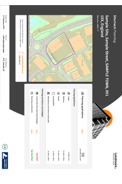
FCI Planning
Supplied by: Future Climate Info
Overview
FCI Planning highlights possible planning and development constraints and major developments which may have an impact on the homebuyer’s enjoyment, plans and the potential future value of their property.
The report includes Local Authority planning and development data from LandInsight, providing information on the types of developments which have taken place in the local area surrounding the property for the preceding 10 years.
The FCI Planning report features;
- Intuitive categorisation of the data Clear planning map
- Dynamic buffers to capture larger developments
- Data pulled live for each report
- Clear and concise results. Not overly wordy
- Current and Historical records
- Lawful Planning Certificates (shown where available)
Planning records include;
- Extensions and Small New Builds
- Developments
- Change of Use
- Lawful Development Certificate Applications
- Telecoms
- Planning Restrictions
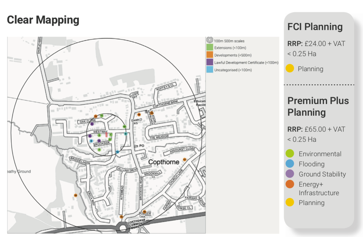 For relevance and improved usability, the search radius is flexible dependent on the location of the property, whether it be in an urban, rural or densely populated urban area, ensuring a manageable representation of planning applications and developments, displayed clearly by type for ease of review in order of proximity from the property.
Please view product card and sample report for more details.
Please log in or register if you are interested in ordering this product.
Popular Products

20. Hedgerow notices
This enquiry is for Question 20. Hedgerow notices.
Landmark Commercial CON29M
Landmark Commercial CON29M