UNKNOWN products
UNKNOWN
Please log in or register if you are interested in ordering this product.
Overview
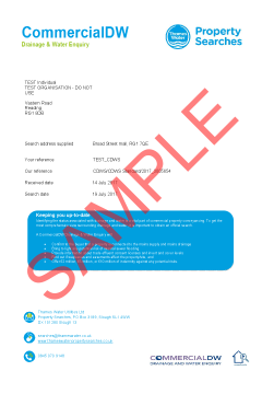
This official CON29DW Thames Water Commercial provides comprehensive data on water supply, sewer connection status and charging arrangements.
The report confirms:
- if the property is connected to mains water supply
- if it is served by public sewers
- if there are water mains or assets within the boundaries of the property
- the basis for charging mains water supply and sewerage and which company supplies water to this area.
Launched by the Law Society, CON29DW is the official drainage and water enquiry and provides results which have the potential to affect the property’s value or title, eg, hidden infrastructure such as private water supplies or septic tanks.
The CON29DW is comprised of results from the following searches:
- The Map of Public Sewers
- The Map of Waterworks
- Water and Sewerage billing records
- Adoption of Public Sewer records
- Building Over Public Sewer records
- The Register of Properties subject to Internal Foul Flooding
- Adoption of Public Water Mains records
- The Register of Properties subject to Poor Water Pressure
- The Drinking Water Register
The CON29DW consists of 23 standard questions answered by all water companies. It means that wherever the property is situated, the CON29DW enquiry will contain the same important property information.
Please note: This search does not include the OneSearch Guarantee of £10 Million PI Cover. If you would like this protection, please see our OneSearch DW.
Please log in or register if you are interested in ordering this product.
Overview
Response to the question 22. Is the property, or any land which abuts the property, registered common land or town or village green under the Common Registration Act 1965 or Commons Act 2006?
Common Registration Act 1965
An Act to provide for the registration of common land and of town or village greens; to amend the law as to prescriptive claims to rights of common; and for purposes connected therewith.
For more information on this legislation, please visit legislation.gov.
Please log in or register if you are interested in ordering this product.
Overview
This search will obtain a plan provided from the relevant electricity company showing the location of their assets.
The map will identify:
- cable routes surrounding the property
- agreements concerning rights/grants of easements which will allow right of access to your client’s property
Based upon the Ordnance Survey Map with the sanction of the controller of H.M. Stationery Office Crown Copyright Reserved.
Please log in or register if you are interested in ordering this product.

Overview
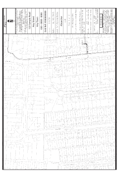
This search will obtain a plan provided from the relevant gas company showing the location of their assets.
The map will identify:
- whether there is record of any gas apparatus at the property
- agreements concerning rights/grants of easements which will allow right of access to your client’s property
- a map of distribution assets if applicable
Please log in or register if you are interested in ordering this product.
Overview
This search will obtain a plan provided from the relevant gas company showing the location of their assets.
The map will identify:
- whether there is record of any gas apparatus at the property
- agreements concerning rights/grants of easements which will allow right of access to your client’s property
- a map of distribution assets if applicable
Please log in or register if you are interested in ordering this product.
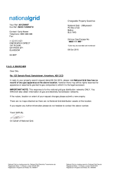
Plan provided from National Grid showing the location of their assets.
Please log in or register if you are interested in ordering this product.
Overview
Radon Advisory is a full report on the requirement for radon protective measures in new buildings and extensions.
Please log in or register if you are interested in ordering this product.

Overview
This report will confirm whether or not the property is in a radon affected area.
Radon Risk Report for addresses in England and Wales Issued by Public Health England and British Geological Survey. This is Based upon Crown Copyright and is reproduced, where applicable, with the permission of Land & Property Services under delegated authority from the Controller of Her Majesty's Stationery Office, © Crown copyright and database right 2014MOU512.
Please log in or register if you are interested in ordering this product.

Overview
When buying a property in the Black Country, it is recommended that you obtain a West Midlands Limestone report to determine whether the property may be affected by risk of subsidence from past limestone extraction.
Limestone has been mined in the West Midlands since Roman times, and the limestone mines were a significant part of the economic history of the region until their decline in the mid 20th Century.
Because of concern over disused limestone workings affecting a percentage of land and property in the Black County region, the Local Authorities concerned and the Department of the Environment commissioned the West Midlands Limestone 1983 Study (as amended), to identify historic limestone workings in Dudley, Sandwell, Walsall, Wolverhampton and Telford & Wrekin Local Authority areas.
This report represents the best information presently available on limestone workings in the West Midlands
Please log in or register if you are interested in ordering this product.