Search Advisor recommends this product to address the following potential hazards:
Groundsure Screening (With Professional Opinion) up to 15 hectares
Supplied by: Groundsure
Overview
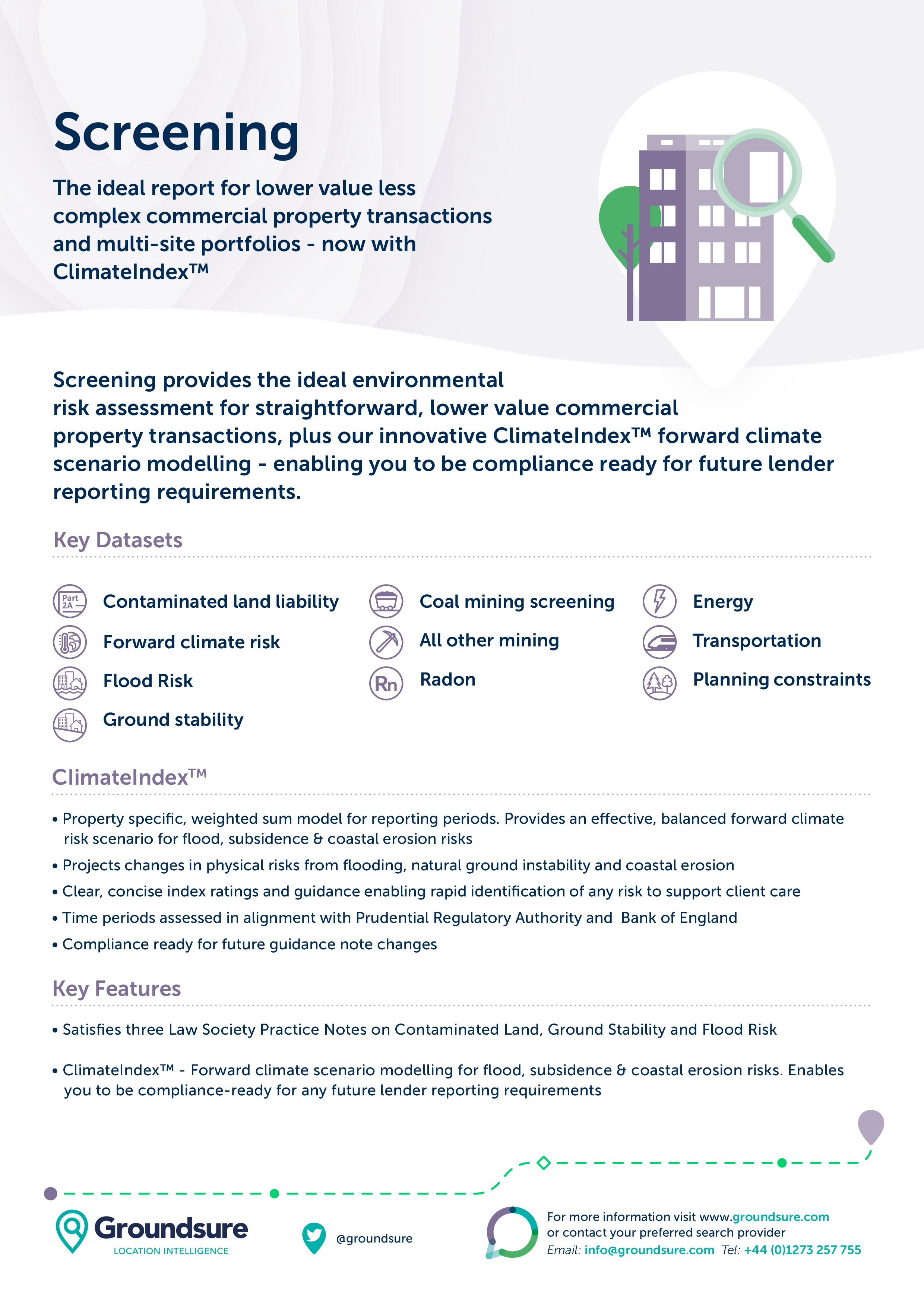
The report includes detailed environmental data on contaminated land, flood risk, ground stability and geological hazards and utilises a range of datasets to ensure a reliable overview of risk.
The report utilises Groundsure’s unique historical land use database, this features detailed and specific land use information dating back over 175 years. It also contains datasets from trusted data providers including the Environment Agency and the British Geological Survey.
The data is reviewed and an opinion is provided by specialists within Groundsure’s consultancy team, who are on hand to answer any questions you may have about the findings within the Screening report. Environmental insurance is available if required.
What does it cover?
- Historical land use database of potentially contaminative features including garages, petrol sites, tanks, energy installations and military/ordnance sites
- Up-to-date environmental permit, incidents and registers data
- Detailed active and historical landfill data from authoritative sources, including the Environment Agency, British Geological Survey (BGS), Local Authorities and historical Ordnance Survey mapping
- Underground electricity cables and gas transmission pipelines
- Geology, hydrology and hydrogeology
- Designated environmentally sensitive sites including Green Belt, Local Nature Reserves and National Parks
- Ground stability assessment including non-coal mining and subsidence risks
- Coal mining screening
- Flood risk screening uses Environment Agency, Natural Resources Wales, and BGS data
- Additional information covering overhead powerlines and existing and proposed mobile phone masts
Please log in or register if you are interested in ordering this product.