Enviro All In One Banner image

Enviro All In One

Supplied by: Groundsure

Enviro All In One Image

Enviro All In One

Overview

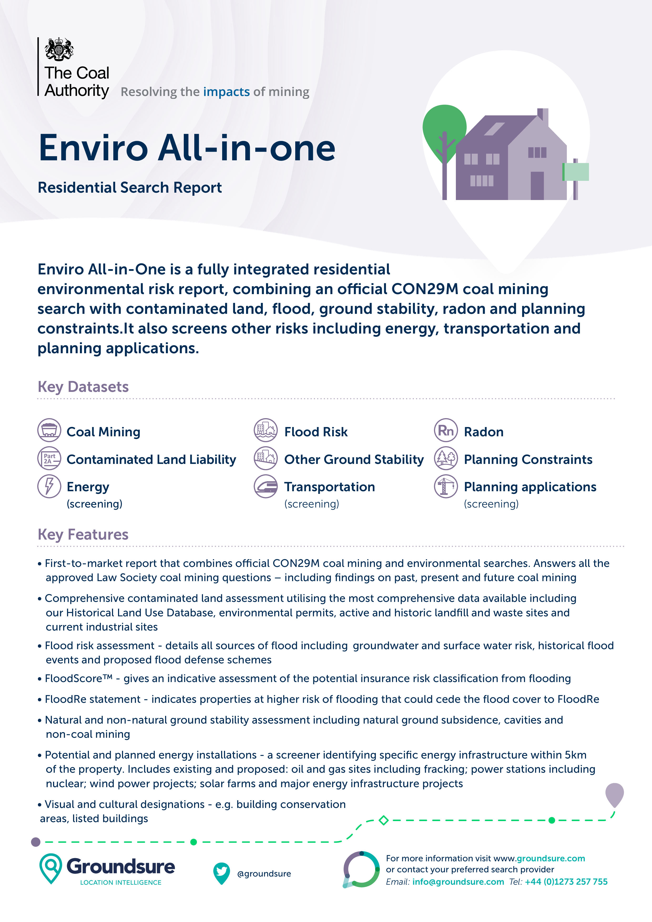
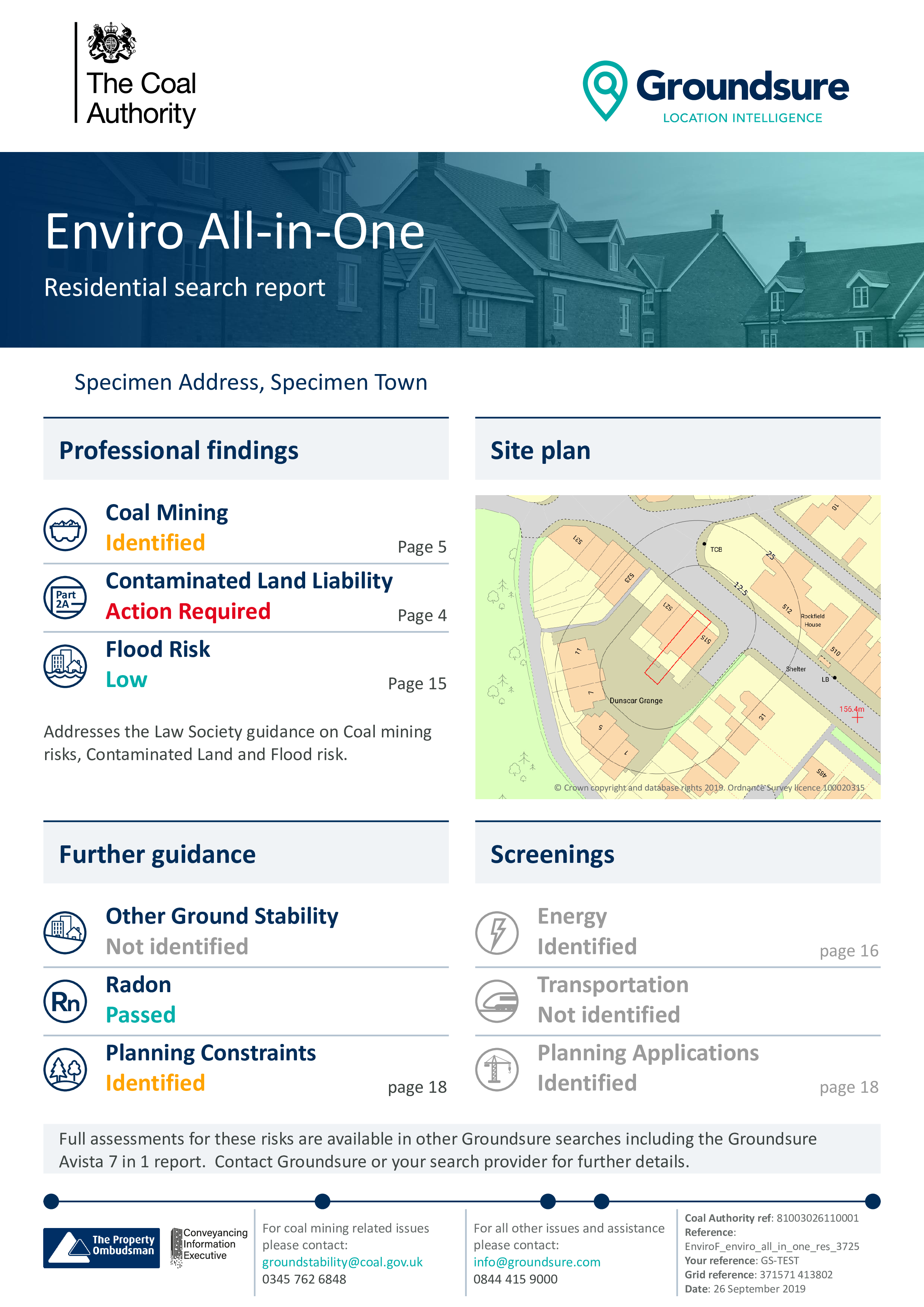
The enhanced Enviro All-in-One, is a fully integrated residential environmental risk report. It is the only available report to combine the official CON29M coal mining search with flood, contaminated land, ground stability and radon searches. It also screens other environmental risks such as energy installations, transportation and planning applications.

1

Select Product

This product covers the following

Contaminated Land icon Contaminated Land
Flood icon Flood
Coal icon Coal
Ground Stability icon Ground Stability
Energy & Infrastructure icon Energy & Infrastructure
Planning icon Planning
Residential icon Residential
Commercial icon Commercial

Key Features

Key Benefits

Key Features image

Key Features

• First-to-market report that combines official CON29M coal mining and environmental searches. Answers all the
approved Law Society coal mining questions – including findings on past, present and future coal mining
• Comprehensive contaminated land assessment utilising the most comprehensive data available including
our Historical Land Use Database, environmental permits, active and historic landfill and waste sites and
current industrial sites
• Flood risk assessment – details all sources of flood including groundwater and surface water risk, historical flood
events and proposed flood defense schemes
• FloodScoreTM – gives an indicative assessment of the potential insurance risk classification from flooding
• FloodRe statement – indicates properties at higher risk of flooding that could cede the flood cover to FloodRe
• Natural and non-natural ground stability assessment including natural ground subsidence, cavities and
non-coal mining
• Potential and planned energy installations – a screener identifying specific energy infrastructure within 5km
of the property. Includes existing and proposed: oil and gas sites including fracking; power stations including
nuclear; wind power projects; solar farms and major energy infrastructure projects
• Visual and cultural designations – e.g. building conservation
areas, listed buildings
• Detailed radon potential data
• Transportation – details on HS2 (route, safeguarding, stations & depots); Elizabeth Line (Crossrail 1 – route,
stations); Railways (active railways, stations) and Docklands Light Railway
• Planning applications – a screener identifying planning applications and constraints including Green Belt,
National Parks, Conservation Areas and Listed Buildings

Key Benefits image

Key Benefits

• Answers all the approved Law Society coal mining questions – including findings on past, present and
future coal mining
• Satisfies Law Society Practice Notes on Contaminated Land, Flood Risk and the Law Society Guidance Notes
(2018) on coal mining
• Improved accuracy using Land Registry polygons
• The Coal Authority’s unique GIS database is updated every 24 hours by in-house experts as new hazards and
cases of subsidence are reported
• Includes £50,000 reduction in property value insurance if there is a change in information. Insurance is covered
by Liberty Legal Indemnities – underwritten by Liberty mutual insurance SE
• Site boundary on MasterMap – enables a clear identification of boundary for title

Key Features

Key Features

• First-to-market report that combines official CON29M coal mining and environmental searches. Answers all the
approved Law Society coal mining questions – including findings on past, present and future coal mining
• Comprehensive contaminated land assessment utilising the most comprehensive data available including
our Historical Land Use Database, environmental permits, active and historic landfill and waste sites and
current industrial sites
• Flood risk assessment – details all sources of flood including groundwater and surface water risk, historical flood
events and proposed flood defense schemes
• FloodScoreTM – gives an indicative assessment of the potential insurance risk classification from flooding
• FloodRe statement – indicates properties at higher risk of flooding that could cede the flood cover to FloodRe
• Natural and non-natural ground stability assessment including natural ground subsidence, cavities and
non-coal mining
• Potential and planned energy installations – a screener identifying specific energy infrastructure within 5km
of the property. Includes existing and proposed: oil and gas sites including fracking; power stations including
nuclear; wind power projects; solar farms and major energy infrastructure projects
• Visual and cultural designations – e.g. building conservation
areas, listed buildings
• Detailed radon potential data
• Transportation – details on HS2 (route, safeguarding, stations & depots); Elizabeth Line (Crossrail 1 – route,
stations); Railways (active railways, stations) and Docklands Light Railway
• Planning applications – a screener identifying planning applications and constraints including Green Belt,
National Parks, Conservation Areas and Listed Buildings
Key Benefits

Key Benefits

• Answers all the approved Law Society coal mining questions – including findings on past, present and
future coal mining
• Satisfies Law Society Practice Notes on Contaminated Land, Flood Risk and the Law Society Guidance Notes
(2018) on coal mining
• Improved accuracy using Land Registry polygons
• The Coal Authority’s unique GIS database is updated every 24 hours by in-house experts as new hazards and
cases of subsidence are reported
• Includes £50,000 reduction in property value insurance if there is a change in information. Insurance is covered
by Liberty Legal Indemnities – underwritten by Liberty mutual insurance SE
• Site boundary on MasterMap – enables a clear identification of boundary for title

Get in touch