Landmark Planning Banner image

Landmark Planning

Supplied by: Landmark

Landmark Planning Image

Landmark Planning

Overview

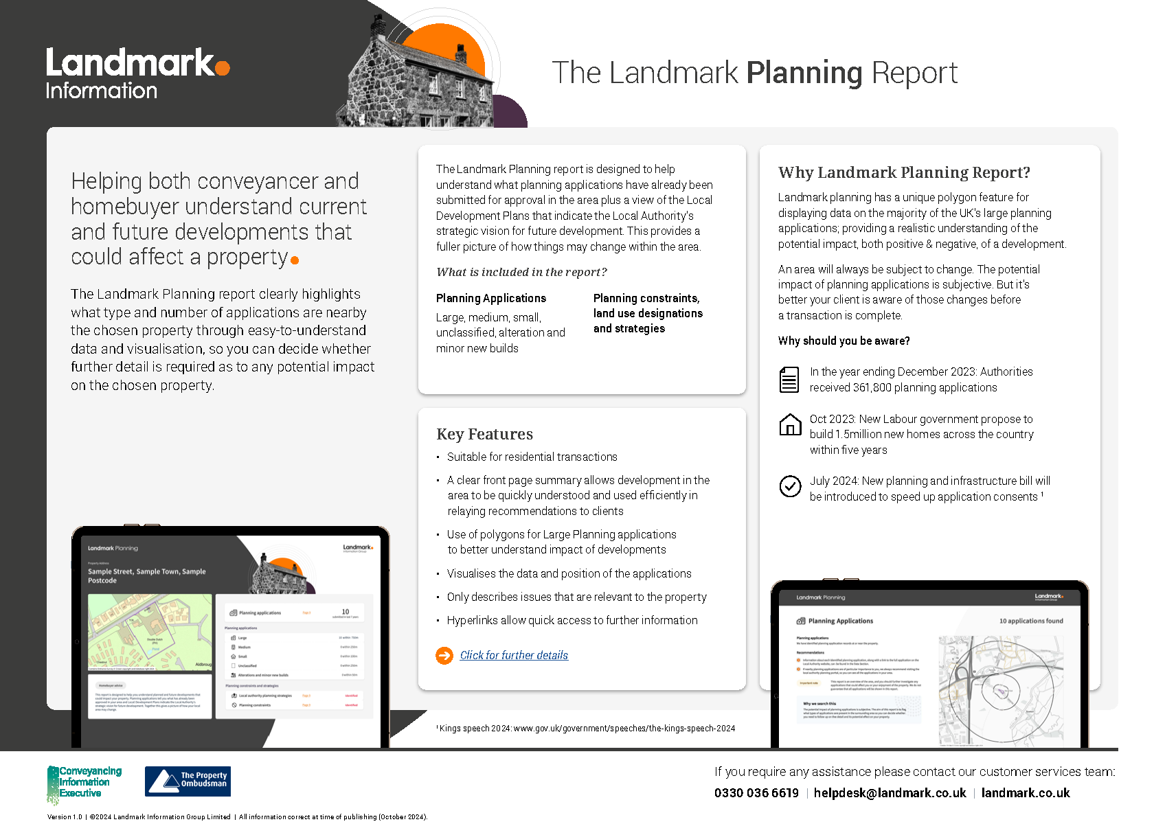
Landmark Planning provides unrivalled data accuracy through Planning Applications as Polygons, covering most of the UK.

The polygons provide a footprint for the development which is a much more accurate representation of a developments potential impact on an area. Less time is required analysing applications to understand their extent and impact. Results of the report are clearly displayed on the easy to use, front page summary.

The report looks out to varying distances based on development size so not to identify projects unnecessarily. Landmark Planning also provides essential planning and development strategy information to homebuyers and current homeowners in mainland Great Britain. It supports the homebuyer in making an informed decision by supplying quality information for the property and surrounding area.

This product covers the following

Residential icon Residential
Planning icon Planning

Unrivalled data accuracy

Assessment

When to use

Unrivalled data accuracy image

Includes:

  • Clear front-page summary identifying what applications have been identified
  • Planning applications data looking within the last 7 years to inform of nearby current or future developments.
  • Large Applications as Polygons for much of the UK for quicker interpretation
  • Daily updates to the planning data to provide the most current view of planning across Great Britain
  • Commercial and residential applications separated by development size
  • Land use designations as set out in the Local Plan
Assessment image

Includes:

Clear front-page summary specifying what applications have been identified within the respective search radii. Supported by mapping in the report

When to use image

Landmark Planning can be used on any residential transaction.

Unrivalled data accuracy

Includes:

  • Clear front-page summary identifying what applications have been identified
  • Planning applications data looking within the last 7 years to inform of nearby current or future developments.
  • Large Applications as Polygons for much of the UK for quicker interpretation
  • Daily updates to the planning data to provide the most current view of planning across Great Britain
  • Commercial and residential applications separated by development size
  • Land use designations as set out in the Local Plan

Assessment

Includes:

Clear front-page summary specifying what applications have been identified within the respective search radii. Supported by mapping in the report

When to use

Landmark Planning can be used on any residential transaction.

Get in touch