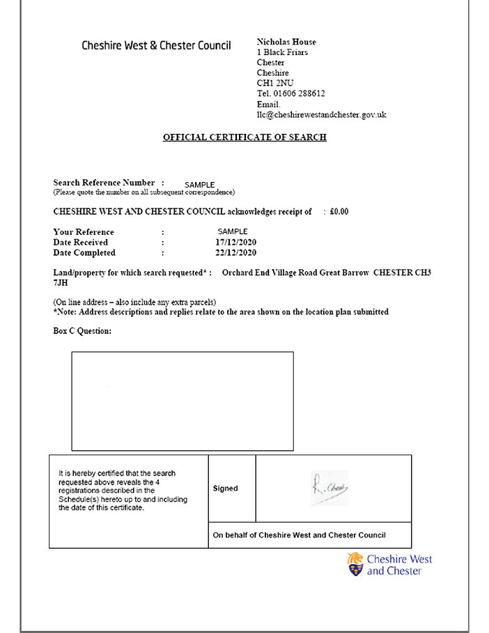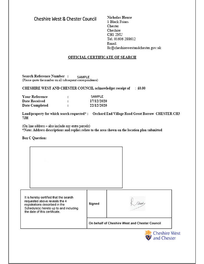
Council Sourced LLC1 & Con29 Residential
Local Authority Searches
The Official Local Authority (Council) Search, also known as local land charges search or local search

Council Sourced LLC1 & Con29 Commercial
Local Authority Searches
The Commercial Official Local Authority (Council) Search, also known as local land charges search or local search

Cornish Mining
Environmental & Utilities
Information relating to tin and clay mining in Cornwall.

Council-sourced Highways Extents Plan
Local Authority Searches
A council-sourced extents plan providing information about the extent of the highway

CON29DW
Drainage & Water
The official CON29DW provides comprehensive data on water supply, sewer connection status and charging arrangements.

Coal Authority Subsidence Claims History
Environmental & Utilities
The Coal Authority Subsidence Claims History report is a unique, bespoke report on the details of an individual subsidence claim.

