Groundsure Homescreen
Overview
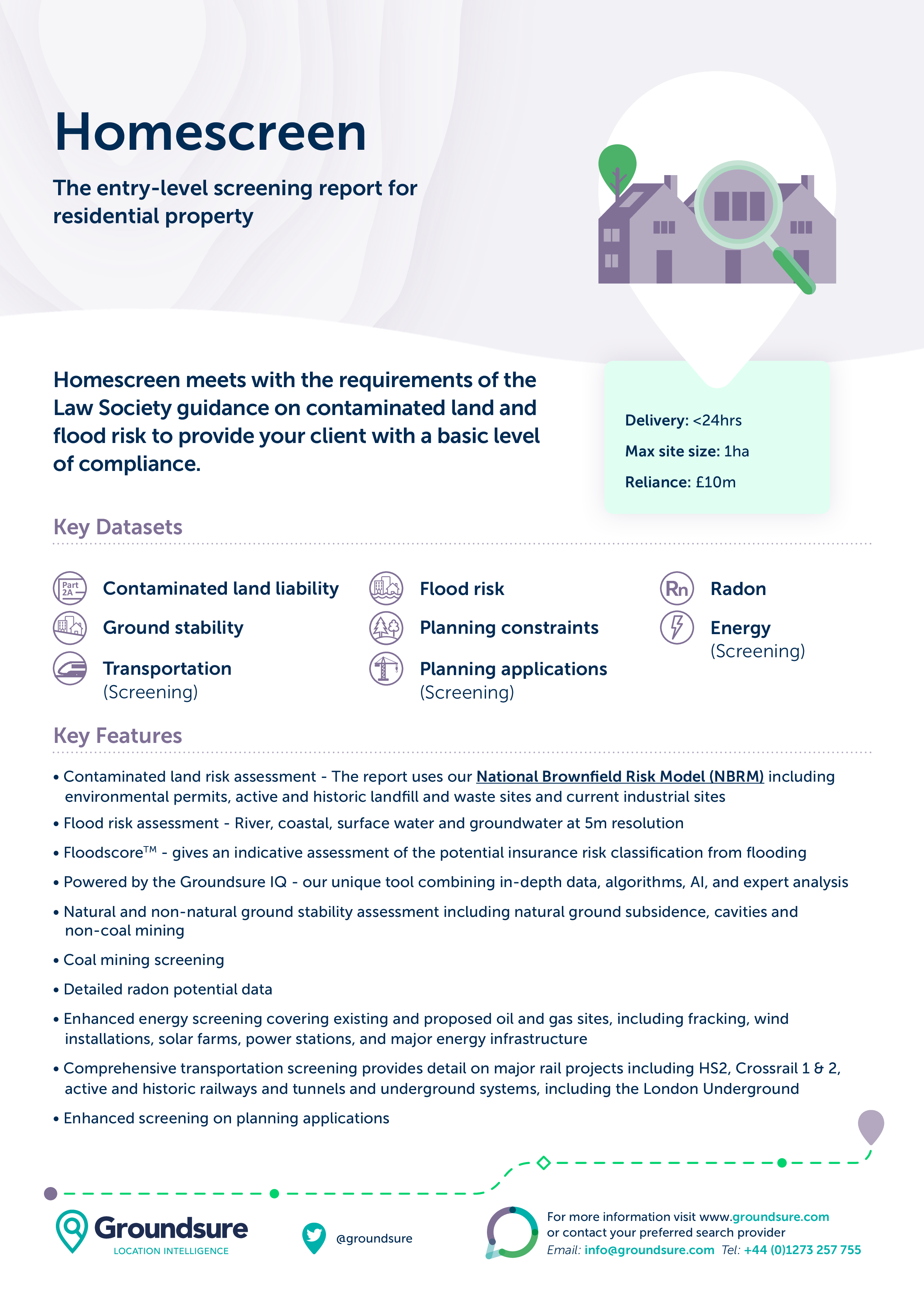
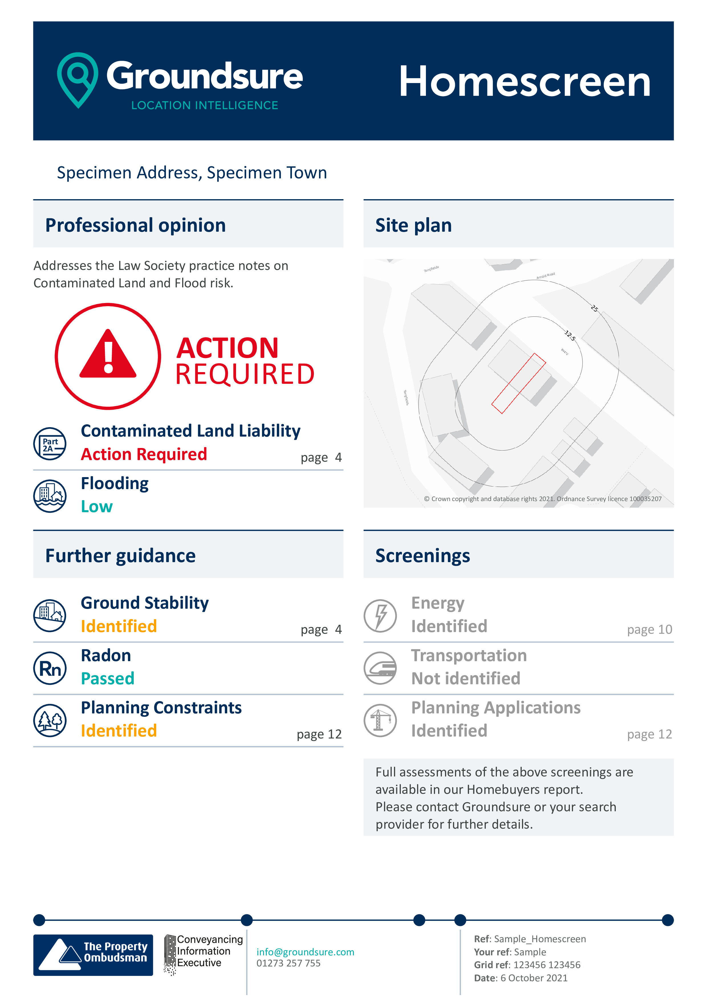
Homescreen meets with the requirements of the Law Society guidance on contaminated land and flood risk to provide your client with a basic level of compliance.
Login or Register to Get Access


Homescreen meets with the requirements of the Law Society guidance on contaminated land and flood risk to provide your client with a basic level of compliance.

• Contaminated land risk assessment – The report uses our National Brownfield Risk Model (NBRM) including
environmental permits, active and historic landfill and waste sites and current industrial sites
• Flood risk assessment – River, coastal, surface water and groundwater at 5m resolution
• FloodscoreTM – gives an indicative assessment of the potential insurance risk classification from flooding
• Powered by the Groundsure IQ – our unique tool combining in-depth data, algorithms, AI, and expert analysis
• Natural and non-natural ground stability assessment including natural ground subsidence, cavities and
non-coal mining
• Coal mining screening
• Detailed radon potential data
• Enhanced energy screening covering existing and proposed oil and gas sites, including fracking, wind
installations, solar farms, power stations, and major energy infrastructure
• Comprehensive transportation screening provides detail on major rail projects including HS2, Crossrail 1 & 2,
active and historic railways and tunnels and underground systems, including the London Underground
• Enhanced screening on planning applications

• Satisfies the Law Society practice notes on contaminated land and flood risk
• Improved accuracy – using Land Registry Title polygons so it captures all features within the specific property
and boundary
• Clear reccomendations and next steps to make it easier for you and your client
• Contaminated land risk assessment – The report uses our National Brownfield Risk Model (NBRM) including
environmental permits, active and historic landfill and waste sites and current industrial sites
• Flood risk assessment – River, coastal, surface water and groundwater at 5m resolution
• FloodscoreTM – gives an indicative assessment of the potential insurance risk classification from flooding
• Powered by the Groundsure IQ – our unique tool combining in-depth data, algorithms, AI, and expert analysis
• Natural and non-natural ground stability assessment including natural ground subsidence, cavities and
non-coal mining
• Coal mining screening
• Detailed radon potential data
• Enhanced energy screening covering existing and proposed oil and gas sites, including fracking, wind
installations, solar farms, power stations, and major energy infrastructure
• Comprehensive transportation screening provides detail on major rail projects including HS2, Crossrail 1 & 2,
active and historic railways and tunnels and underground systems, including the London Underground
• Enhanced screening on planning applications
• Satisfies the Law Society practice notes on contaminated land and flood risk
• Improved accuracy – using Land Registry Title polygons so it captures all features within the specific property
and boundary
• Clear reccomendations and next steps to make it easier for you and your client